Where is Williamson County, Tennessee?
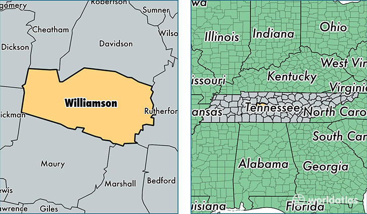
Williamson County is a county equivalent area found in Tennessee, USA. The county government of Williamson is found in the county seat of Franklin.
With a total 1,511.95 sq. km of land and water area, Williamson County, Tennessee is the 1810th largest county equivalent area in the United States. Home to 205,226 people, Williamson County has a total 72044 households earning 89779 on average per year.
Williamson County, Tennessee - Quick Facts
| FIPS Code | 47187 |
| Area Codes | 615,931 |
| Time Zone | CST |
| Major Cities | Franklin (population: 95,482), Brentwood (population: 51,461), Thompsons Station (population: 12,391), Fairview (population: 11,310), Nolensville (population: 10,175), College Grove (population: 3,856), Arrington (population: 1,948), Primm Springs (population: 1,251) |
| Land Area | 79,238 sq miles |
| Water Area | 583 sq miles |
| Household Income | $89,779 |
| Housing Units | 72,044 |
| Median Home Value | $334,900 |
| High School Grads | 95% of population |
| Holders of Bachelors Degrees | 53% of population |
| Retail Spending | $19,834 per capita |
| Food & Accomodation Sales | $383,468 per capita |
This page was last updated on June 30, 2016.