Where is Rutherford County, Tennessee?
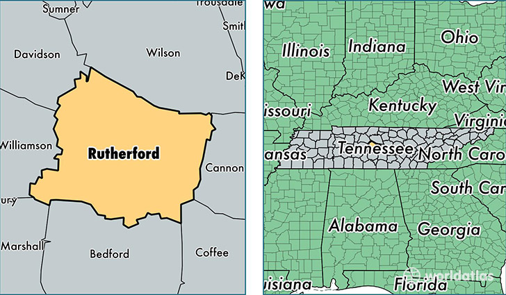
Rutherford County is a county equivalent area found in Tennessee, USA. The county government of Rutherford is found in the county seat of Murfreesboro.
With a total 1,616.28 sq. km of land and water area, Rutherford County, Tennessee is the 1654th largest county equivalent area in the United States. Home to 288,906 people, Rutherford County has a total 106433 households earning 55401 on average per year.
Rutherford County, Tennessee offers the following attractions to visitors: Stones River National Cemetery, Stones River NB
Rutherford County, Tennessee - Quick Facts
| FIPS Code | 47149 |
| Area Codes | 615 |
| Time Zone | CST |
| Major Cities | Murfreesboro (population: 165,860), Smyrna (population: 51,547), La Vergne (population: 32,935), Christiana (population: 6,596), Rockvale (population: 5,760), Lascassas (population: 4,216), Eagleville (population: 2,323), Readyville (population: 2,259), Milton (population: 1,319) |
| Land Area | 111,547 sq miles |
| Water Area | 619 sq miles |
| Household Income | $55,401 |
| Housing Units | 106,433 |
| Median Home Value | $159,100 |
| High School Grads | 90% of population |
| Holders of Bachelors Degrees | 28% of population |
| Retail Spending | $11,588 per capita |
| Food & Accomodation Sales | $386,963 per capita |
| Universities and Colleges | Draughons Junior College-Murfreesboro |
This page was last updated on June 30, 2016.