Where is Maury County, Tennessee?
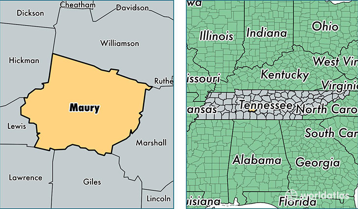
Maury County is a county equivalent area found in Tennessee, USA. The county government of Maury is found in the county seat of Columbia.
With a total 1,594.34 sq. km of land and water area, Maury County, Tennessee is the 1694th largest county equivalent area in the United States. Home to 85,515 people, Maury County has a total 35560 households earning 45336 on average per year.
Maury County, Tennessee - Quick Facts
| FIPS Code | 47119 |
| Area Codes | 931 |
| Time Zone | CST |
| Major Cities | Columbia (population: 55,168), Spring Hill (population: 27,351), Mount Pleasant (population: 7,895), Culleoka (population: 4,871), Santa Fe (population: 1,554), Hampshire (population: 1,377), Williamsport (population: 1,063) |
| Land Area | 33,018 sq miles |
| Water Area | 613 sq miles |
| Household Income | $45,336 |
| Housing Units | 35,560 |
| Median Home Value | $136,300 |
| High School Grads | 86% of population |
| Holders of Bachelors Degrees | 17% of population |
| Retail Spending | $11,170 per capita |
| Food & Accomodation Sales | $97,274 per capita |
| Universities and Colleges | Columbia State Community College |
This page was last updated on June 30, 2016.