Where is Humphreys County, Tennessee?
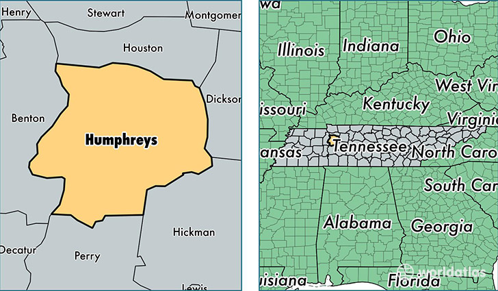
Humphreys County is a county equivalent area found in Tennessee, USA. The county government of Humphreys is found in the county seat of Waverly.
With a total 1,441.85 sq. km of land and water area, Humphreys County, Tennessee is the 1984th largest county equivalent area in the United States. Home to 18,135 people, Humphreys County has a total 8833 households earning 42846 on average per year.
Humphreys County, Tennessee - Quick Facts
| FIPS Code | 47085 |
| Area Codes | 931 |
| Time Zone | CST |
| Major Cities | Waverly (population: 8,515), McEwen (population: 6,332), New Johnsonville (population: 3,017), Hurricane Mills (population: 664) |
| Land Area | 7,002 sq miles |
| Water Area | 531 sq miles |
| Household Income | $42,846 |
| Housing Units | 8,833 |
| Median Home Value | $108,000 |
| High School Grads | 84% of population |
| Holders of Bachelors Degrees | 12% of population |
| Retail Spending | $9,964 per capita |
| Food & Accomodation Sales | $17,794 per capita |
This page was last updated on June 30, 2016.