Where is Clackamas County, Oregon?
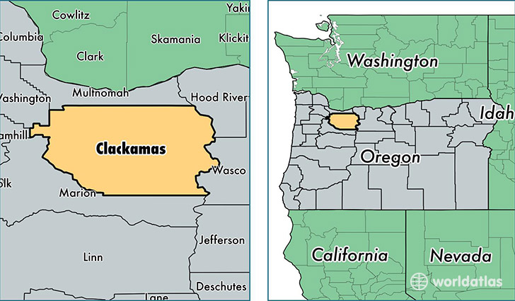
Clackamas County is a county equivalent area found in Oregon, USA. The county government of Clackamas is found in the county seat of Oregon City.
With a total 4,876.19 sq. km of land and water area, Clackamas County, Oregon is the 347th largest county equivalent area in the United States. Home to 394,972 people, Clackamas County has a total 159153 households earning 64352 on average per year.
Clackamas County, Oregon - Quick Facts
| FIPS Code | 41005 |
| Area Codes | 503 |
| Time Zone | PST |
| Major Cities | Portland (population: 67,196), Oregon City (population: 52,433), Lake Oswego (population: 43,753), West Linn (population: 28,897), Happy Valley (population: 26,554), Canby (population: 23,162), Wilsonville (population: 21,425), Clackamas (population: 19,929), Sandy (population: 17,712), Molalla (population: 15,429) |
| Land Area | 152,499 sq miles |
| Water Area | 1,870 sq miles |
| Household Income | $64,352 |
| Housing Units | 159,153 |
| Median Home Value | $300,600 |
| High School Grads | 92% of population |
| Holders of Bachelors Degrees | 32% of population |
| Retail Spending | $13,567 per capita |
| Food & Accomodation Sales | $607,444 per capita |
| Universities and Colleges | Marylhurst University, Northwest College of Hair Design |
This page was last updated on June 30, 2016.