Where is Atoka County, Oklahoma?
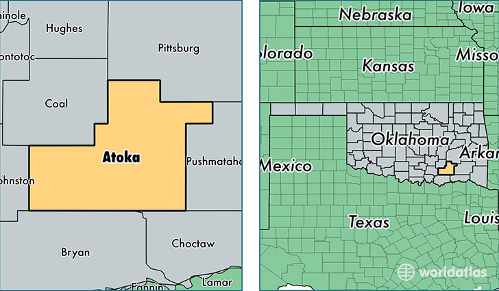
Atoka County is a county equivalent area found in Oklahoma, USA. The county government of Atoka is found in the county seat of Atoka.
With a total 2,563.86 sq. km of land and water area, Atoka County, Oklahoma is the 781st largest county equivalent area in the United States. Home to 13,796 people, Atoka County has a total 6313 households earning 37012 on average per year.
Atoka County, Oklahoma - Quick Facts
| FIPS Code | 40005 |
| Area Codes | 580 |
| Time Zone | CST |
| Major Cities | Atoka (population: 9,987), Lane (population: 850), Caney (population: 838), Stringtown (population: 625), Daisy (population: 169) |
| Land Area | 5,327 sq miles |
| Water Area | 976 sq miles |
| Household Income | $37,012 |
| Housing Units | 6,313 |
| Median Home Value | $79,800 |
| High School Grads | 83% of population |
| Holders of Bachelors Degrees | 14% of population |
| Retail Spending | $9,472 per capita |
| Food & Accomodation Sales | $13,934 per capita |
This page was last updated on June 30, 2016.