Where is Pushmataha County, Oklahoma?
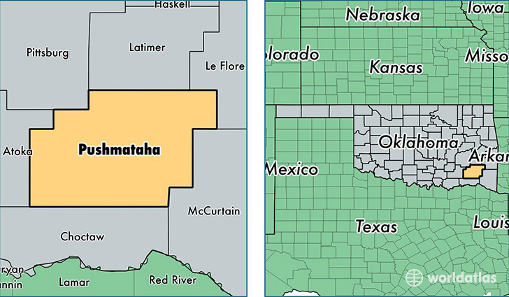
Pushmataha County is a county equivalent area found in Oklahoma, USA. The county government of Pushmataha is found in the county seat of Antlers.
With a total 3,685.18 sq. km of land and water area, Pushmataha County, Oklahoma is the 481st largest county equivalent area in the United States. Home to 11,125 people, Pushmataha County has a total 6082 households earning 29897 on average per year.
Pushmataha County, Oklahoma - Quick Facts
| FIPS Code | 40127 |
| Area Codes | 918,580 |
| Time Zone | CST |
| Major Cities | Antlers (population: 5,863), Clayton (population: 1,704), Tuskahoma (population: 1,056), Rattan (population: 907), Moyers (population: 449), Nashoba (population: 440), Finley (population: 358), Spencerville (population: 290), Snow (population: 234), Albion (population: 210) |
| Land Area | 4,295 sq miles |
| Water Area | 1,396 sq miles |
| Household Income | $29,897 |
| Housing Units | 6,082 |
| Median Home Value | $71,000 |
| High School Grads | 81% of population |
| Holders of Bachelors Degrees | 12% of population |
| Retail Spending | $6,432 per capita |
| Food & Accomodation Sales | $4,732 per capita |
This page was last updated on June 30, 2016.