Where is Johnston County, Oklahoma?
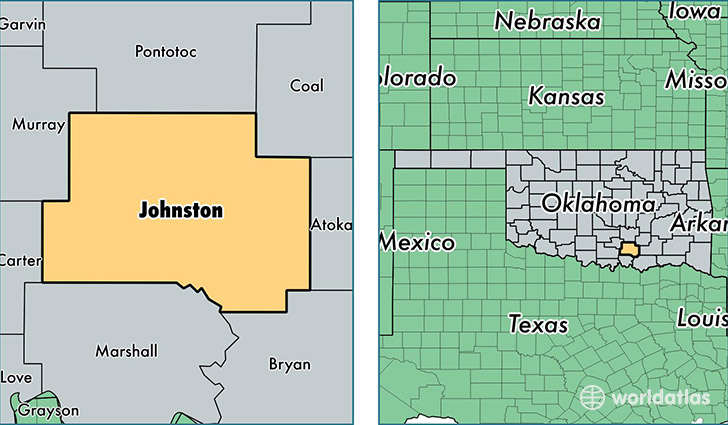
Johnston County is a county equivalent area found in Oklahoma, USA. The county government of Johnston is found in the county seat of Tishomingo.
With a total 1,704.85 sq. km of land and water area, Johnston County, Oklahoma is the 1543rd largest county equivalent area in the United States. Home to 11,103 people, Johnston County has a total 5117 households earning 36192 on average per year.
Johnston County, Oklahoma - Quick Facts
| FIPS Code | 40069 |
| Area Codes | 580 |
| Time Zone | CST |
| Major Cities | Tishomingo (population: 4,766), Milburn (population: 1,253), Mannsville (population: 1,210), Coleman (population: 976), Wapanucka (population: 797), Mill Creek (population: 786), Ravia (population: 675), Kenefic (population: 645), Bromide (population: 214), Connerville (population: 171) |
| Land Area | 4,287 sq miles |
| Water Area | 643 sq miles |
| Household Income | $36,192 |
| Housing Units | 5,117 |
| Median Home Value | $77,200 |
| High School Grads | 81% of population |
| Holders of Bachelors Degrees | 18% of population |
| Retail Spending | $7,163 per capita |
| Food & Accomodation Sales | $3,119 per capita |
This page was last updated on June 30, 2016.