Where is Coal County, Oklahoma?
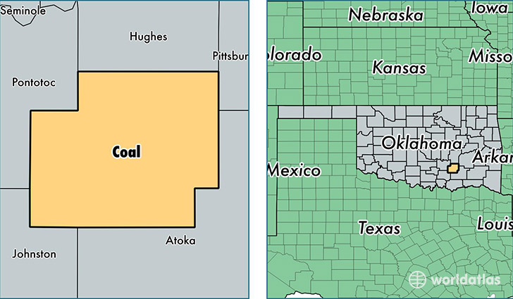
Coal County is a county equivalent area found in Oklahoma, USA. The county government of Coal is found in the county seat of Coalgate.
With a total 1,350.28 sq. km of land and water area, Coal County, Oklahoma is the 2098th largest county equivalent area in the United States. Home to 5,807 people, Coal County has a total 2796 households earning 34867 on average per year.
Coal County, Oklahoma - Quick Facts
| FIPS Code | 40029 |
| Area Codes | 580 |
| Time Zone | CST |
| Major Cities | Coalgate (population: 4,226), Tupelo (population: 716), Lehigh (population: 424), Centrahoma (population: 251), Clarita (population: 126) |
| Land Area | 2,242 sq miles |
| Water Area | 517 sq miles |
| Household Income | $34,867 |
| Housing Units | 2,796 |
| Median Home Value | $68,400 |
| High School Grads | 81% of population |
| Holders of Bachelors Degrees | 13% of population |
| Retail Spending | $6,735 per capita |
| Food & Accomodation Sales | $2,195 per capita |
This page was last updated on June 30, 2016.