Where is Shelby County, Ohio?
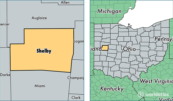
Shelby County is a county equivalent area found in Ohio, USA. The county government of Shelby is found in the county seat of Sidney.
With a total 1,063.69 sq. km of land and water area, Shelby County, Ohio is the 2541st largest county equivalent area in the United States. Home to 48,951 people, Shelby County has a total 20162 households earning 50427 on average per year.
Shelby County, Ohio - Quick Facts
| FIPS Code | 39149 |
| Area Codes | 937 |
| Time Zone | EST |
| Major Cities | Sidney (population: 30,402), Anna (population: 4,257), Fort Loramie (population: 3,161), Botkins (population: 2,282), Jackson Center (population: 2,026), Russia (population: 1,760), Houston (population: 1,338), Maplewood (population: 825), Port Jefferson (population: 333), Pemberton (population: 194) |
| Land Area | 18,900 sq miles |
| Water Area | 408 sq miles |
| Household Income | $50,427 |
| Housing Units | 20,162 |
| Median Home Value | $123,400 |
| High School Grads | 88% of population |
| Holders of Bachelors Degrees | 15% of population |
| Retail Spending | $8,884 per capita |
| Food & Accomodation Sales | $55,185 per capita |
This page was last updated on June 30, 2016.