Where is Mercer County, Ohio?
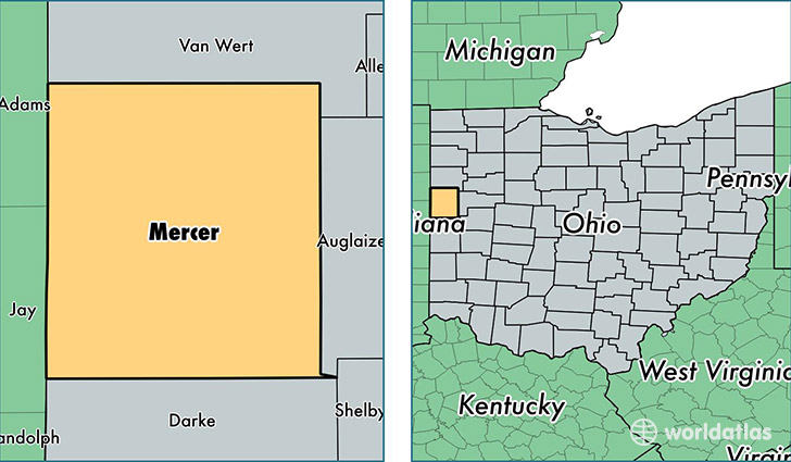
Mercer County is a county equivalent area found in Ohio, USA. The county government of Mercer is found in the county seat of Celina.
With a total 1,226.16 sq. km of land and water area, Mercer County, Ohio is the 2267th largest county equivalent area in the United States. Home to 40,831 people, Mercer County has a total 17590 households earning 52535 on average per year.
Mercer County, Ohio - Quick Facts
| FIPS Code | 39107 |
| Area Codes | 419 |
| Time Zone | EST |
| Major Cities | Celina (population: 18,971), Coldwater (population: 6,134), Fort Recovery (population: 4,440), Saint Henry (population: 3,888), Rockford (population: 3,008), Maria Stein (population: 2,277), Mendon (population: 1,509), Chickasaw (population: 306), Burkettsville (population: 243), Montezuma (population: 186) |
| Land Area | 15,765 sq miles |
| Water Area | 463 sq miles |
| Household Income | $52,535 |
| Housing Units | 17,590 |
| Median Home Value | $124,200 |
| High School Grads | 91% of population |
| Holders of Bachelors Degrees | 16% of population |
| Retail Spending | $9,664 per capita |
| Food & Accomodation Sales | $39,441 per capita |
This page was last updated on June 30, 2016.