Where is Darke County, Ohio?
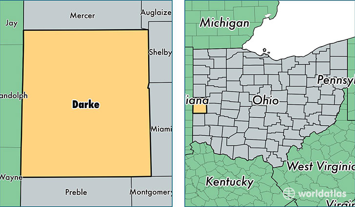
Darke County is a county equivalent area found in Ohio, USA. The county government of Darke is found in the county seat of Greenville.
With a total 1,553.37 sq. km of land and water area, Darke County, Ohio is the 1745th largest county equivalent area in the United States. Home to 52,196 people, Darke County has a total 22637 households earning 43425 on average per year.
Darke County, Ohio - Quick Facts
| FIPS Code | 39037 |
| Area Codes | 937,419 |
| Time Zone | EST |
| Major Cities | Greenville (population: 22,734), Arcanum (population: 7,237), Versailles (population: 5,430), Bradford (population: 4,667), Union City (population: 3,431), New Madison (population: 2,273), Ansonia (population: 2,204), Rossburg (population: 1,066), New Weston (population: 985), Yorkshire (population: 805) |
| Land Area | 20,153 sq miles |
| Water Area | 598 sq miles |
| Household Income | $43,425 |
| Housing Units | 22,637 |
| Median Home Value | $110,600 |
| High School Grads | 87% of population |
| Holders of Bachelors Degrees | 12% of population |
| Retail Spending | $8,567 per capita |
| Food & Accomodation Sales | $43,685 per capita |
This page was last updated on June 30, 2016.