Where is Champaign County, Ohio?
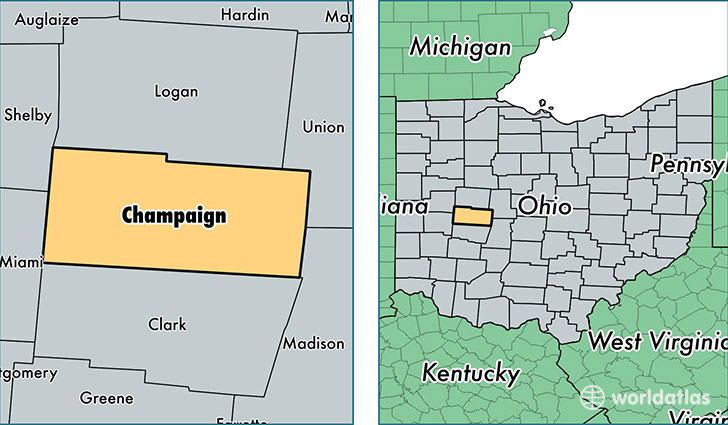
Champaign County is a county equivalent area found in Ohio, USA. The county government of Champaign is found in the county seat of Urbana.
With a total 1,113.26 sq. km of land and water area, Champaign County, Ohio is the 2447th largest county equivalent area in the United States. Home to 39,128 people, Champaign County has a total 16633 households earning 49157 on average per year.
Champaign County, Ohio - Quick Facts
| FIPS Code | 39021 |
| Area Codes | 937 |
| Time Zone | EST |
| Major Cities | Urbana (population: 20,608), Saint Paris (population: 5,869), Mechanicsburg (population: 5,458), Cable (population: 2,106), Conover (population: 1,175), Woodstock (population: 830), Christiansburg (population: 514), Rosewood (population: 131) |
| Land Area | 15,107 sq miles |
| Water Area | 429 sq miles |
| Household Income | $49,157 |
| Housing Units | 16,633 |
| Median Home Value | $124,600 |
| High School Grads | 87% of population |
| Holders of Bachelors Degrees | 17% of population |
| Retail Spending | $7,264 per capita |
| Food & Accomodation Sales | $25,933 per capita |
This page was last updated on June 30, 2016.