Where is Belmont County, Ohio?
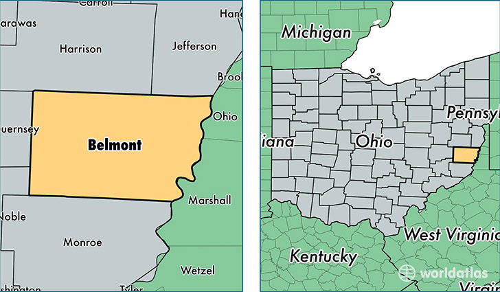
Belmont County is a county equivalent area found in Ohio, USA. The county government of Belmont is found in the county seat of Saint Clairsville.
With a total 1,401.89 sq. km of land and water area, Belmont County, Ohio is the 2034th largest county equivalent area in the United States. Home to 69,461 people, Belmont County has a total 32108 households earning 41534 on average per year.
Belmont County, Ohio - Quick Facts
| FIPS Code | 39013 |
| Area Codes | 740 |
| Time Zone | EST |
| Major Cities | Saint Clairsville (population: 16,588), Martins Ferry (population: 8,850), Bellaire (population: 8,588), Barnesville (population: 7,409), Bridgeport (population: 6,730), Shadyside (population: 5,266), Belmont (population: 3,175), Bethesda (population: 2,574), Powhatan Point (population: 2,474), Flushing (population: 2,382) |
| Land Area | 26,819 sq miles |
| Water Area | 532 sq miles |
| Household Income | $41,534 |
| Housing Units | 32,108 |
| Median Home Value | $88,500 |
| High School Grads | 88% of population |
| Holders of Bachelors Degrees | 14% of population |
| Retail Spending | $12,993 per capita |
| Food & Accomodation Sales | $91,234 per capita |
| Universities and Colleges | Belmont Technical College |
This page was last updated on June 30, 2016.