Where is Otsego County, New York?
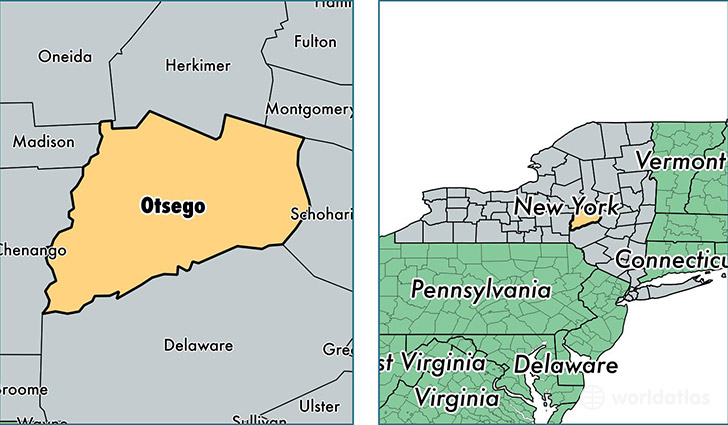
Otsego County is a county equivalent area found in New York, USA. The county government of Otsego is found in the county seat of Cooperstown.
With a total 2,630.8 sq. km of land and water area, Otsego County, New York is the 751st largest county equivalent area in the United States. Home to 61,128 people, Otsego County has a total 30484 households earning 47765 on average per year.
Otsego County, New York - Quick Facts
| FIPS Code | 36077 |
| Area Codes | 607,315 |
| Time Zone | EST |
| Major Cities | Oneonta (population: 22,246), Cooperstown (population: 5,511), Unadilla (population: 4,505), Richfield Springs (population: 3,923), Otego (population: 3,411), Worcester (population: 2,213), Cherry Valley (population: 2,000), Schenevus (population: 1,958), Maryland (population: 1,903), Morris (population: 1,755) |
| Land Area | 23,602 sq miles |
| Water Area | 1,002 sq miles |
| Household Income | $47,765 |
| Housing Units | 30,484 |
| Median Home Value | $137,900 |
| High School Grads | 90% of population |
| Holders of Bachelors Degrees | 27% of population |
| Retail Spending | $14,991 per capita |
| Food & Accomodation Sales | $121,733 per capita |
| Universities and Colleges | SUNY College at Oneonta |
This page was last updated on June 30, 2016.