Where is Madison County, New York?
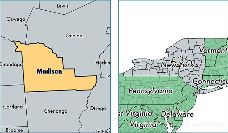
Madison County is a county equivalent area found in New York, USA. The county government of Madison is found in the county seat of Wampsville.
With a total 1,712.76 sq. km of land and water area, Madison County, New York is the 1535th largest county equivalent area in the United States. Home to 72,369 people, Madison County has a total 31617 households earning 53589 on average per year.
Madison County, New York - Quick Facts
| FIPS Code | 36053 |
| Area Codes | 315 |
| Time Zone | EST |
| Major Cities | Oneida (population: 13,942), Canastota (population: 12,605), Chittenango (population: 8,771), Cazenovia (population: 8,496), Hamilton (population: 6,637), Kirkville (population: 4,828), Morrisville (population: 4,218), Bridgeport (population: 3,860), Munnsville (population: 2,339), De Ruyter (population: 1,658) |
| Land Area | 27,942 sq miles |
| Water Area | 655 sq miles |
| Household Income | $53,589 |
| Housing Units | 31,617 |
| Median Home Value | $121,100 |
| High School Grads | 90% of population |
| Holders of Bachelors Degrees | 26% of population |
| Retail Spending | $9,506 per capita |
| Food & Accomodation Sales | $77,560 per capita |
| Universities and Colleges | Morrisville State College, Colgate University |
This page was last updated on June 30, 2016.