Where is Union County, North Carolina?
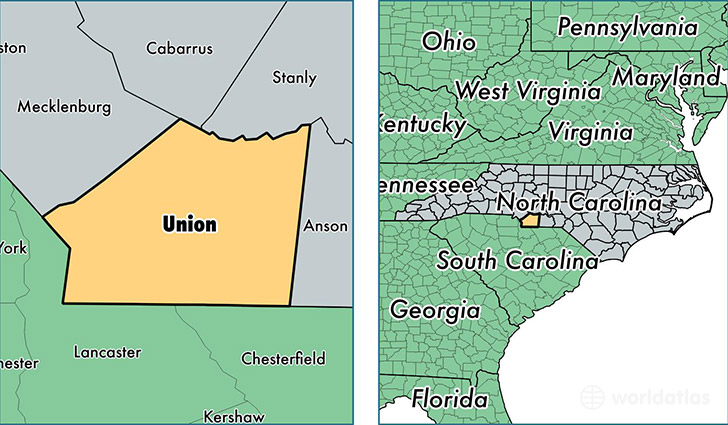
Union County is a county equivalent area found in North Carolina, USA. The county government of Union is found in the county seat of Monroe.
With a total 1,656.54 sq. km of land and water area, Union County, North Carolina is the 1613th largest county equivalent area in the United States. Home to 218,568 people, Union County has a total 74688 households earning 65892 on average per year.
Union County, North Carolina - Quick Facts
| FIPS Code | 37179 |
| Area Codes | 704 |
| Time Zone | EST |
| Major Cities | Monroe (population: 79,428), Waxhaw (population: 46,716), Indian Trail (population: 33,127), Matthews (population: 29,056), Marshville (population: 10,677), Wingate (population: 8,917), Mineral Springs (population: 55) |
| Land Area | 84,390 sq miles |
| Water Area | 632 sq miles |
| Household Income | $65,892 |
| Housing Units | 74,688 |
| Median Home Value | $194,300 |
| High School Grads | 88% of population |
| Holders of Bachelors Degrees | 32% of population |
| Retail Spending | $9,214 per capita |
This page was last updated on June 30, 2016.