Where is Pitt County, North Carolina?
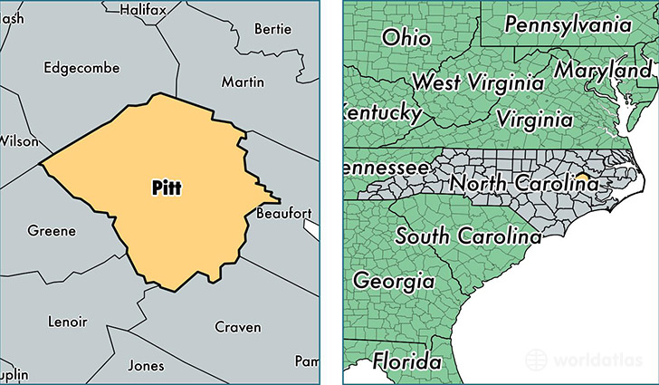
Pitt County is a county equivalent area found in North Carolina, USA. The county government of Pitt is found in the county seat of Greenville.
With a total 1,695.99 sq. km of land and water area, Pitt County, North Carolina is the 1560th largest county equivalent area in the United States. Home to 175,354 people, Pitt County has a total 75934 households earning 40718 on average per year.
Pitt County, North Carolina - Quick Facts
| FIPS Code | 37147 |
| Area Codes | 252 |
| Time Zone | EST |
| Major Cities | Greenville (population: 111,539), Winterville (population: 24,020), Ayden (population: 10,605), Farmville (population: 9,283), Grifton (population: 7,429), Grimesland (population: 6,048), Bethel (population: 2,651), Stokes (population: 1,315), Simpson (population: 319), Falkland (population: 33) |
| Land Area | 67,705 sq miles |
| Water Area | 652 sq miles |
| Household Income | $40,718 |
| Housing Units | 75,934 |
| Median Home Value | $134,900 |
| High School Grads | 86% of population |
| Holders of Bachelors Degrees | 28% of population |
| Retail Spending | $14,302 per capita |
| Food & Accomodation Sales | $293,539 per capita |
| Universities and Colleges | East Carolina University, Mitchells Hairstyling Academy, Pitt Community College |
This page was last updated on June 30, 2016.