Where is Craven County, North Carolina?
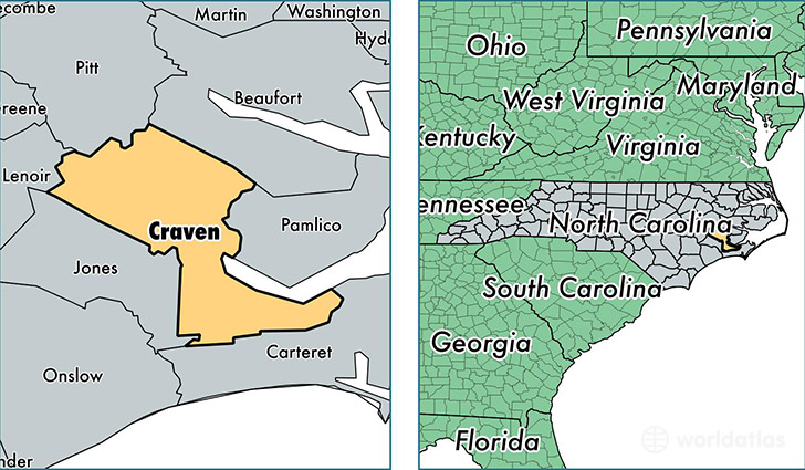
Craven County is a county equivalent area found in North Carolina, USA. The county government of Craven is found in the county seat of New Bern.
With a total 2,005.07 sq. km of land and water area, Craven County, North Carolina is the 1224th largest county equivalent area in the United States. Home to 104,510 people, Craven County has a total 45540 households earning 47141 on average per year.
Craven County, North Carolina - Quick Facts
| FIPS Code | 37049 |
| Area Codes | 252 |
| Time Zone | EST |
| Major Cities | New Bern (population: 65,858), Havelock (population: 23,605), Vanceboro (population: 8,313), Cherry Point (population: 2,988), Dover (population: 2,518), Cove City (population: 2,486), Ernul (population: 1,153), Bridgeton (population: 408) |
| Land Area | 40,352 sq miles |
| Water Area | 709 sq miles |
| Household Income | $47,141 |
| Housing Units | 45,540 |
| Median Home Value | $152,400 |
| High School Grads | 87% of population |
| Holders of Bachelors Degrees | 21% of population |
| Retail Spending | $11,512 per capita |
| Food & Accomodation Sales | $142,120 per capita |
| Universities and Colleges | Craven Community College |
This page was last updated on June 30, 2016.