Where is Beaufort County, North Carolina?
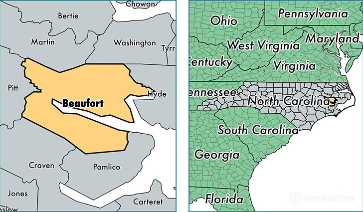
Beaufort County is a county equivalent area found in North Carolina, USA. The county government of Beaufort is found in the county seat of Washington.
With a total 2,481.75 sq. km of land and water area, Beaufort County, North Carolina is the 823rd largest county equivalent area in the United States. Home to 47,585 people, Beaufort County has a total 25157 households earning 40429 on average per year.
Beaufort County, North Carolina - Quick Facts
| FIPS Code | 37013 |
| Area Codes | 252 |
| Time Zone | EST |
| Major Cities | Washington (population: 27,394), Chocowinity (population: 7,319), Belhaven (population: 4,360), Aurora (population: 2,318), Pantego (population: 2,231), Bath (population: 2,213), Pinetown (population: 1,916), Blounts Creek (population: 1,667), Edward (population: 356) |
| Land Area | 18,373 sq miles |
| Water Area | 827 sq miles |
| Household Income | $40,429 |
| Housing Units | 25,157 |
| Median Home Value | $117,000 |
| High School Grads | 82% of population |
| Holders of Bachelors Degrees | 18% of population |
| Retail Spending | $12,504 per capita |
| Food & Accomodation Sales | $49,915 per capita |
This page was last updated on June 30, 2016.