Where is Lincoln County, North Carolina?
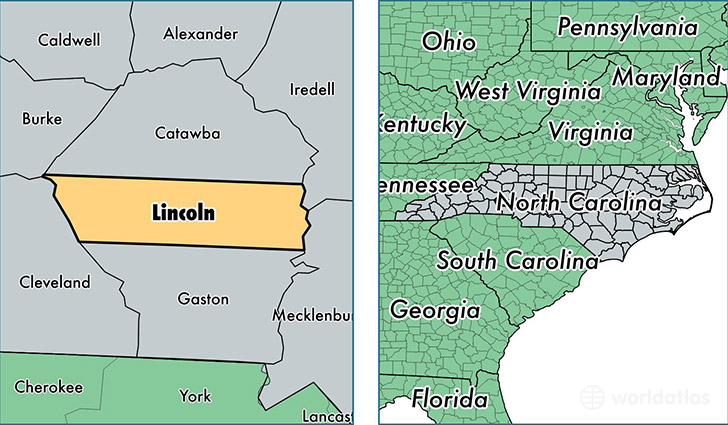
Lincoln County is a county equivalent area found in North Carolina, USA. The county government of Lincoln is found in the county seat of Lincolnton.
With a total 795.23 sq. km of land and water area, Lincoln County, North Carolina is the 2837th largest county equivalent area in the United States. Home to 79,829 people, Lincoln County has a total 33578 households earning 48940 on average per year.
Lincoln County, North Carolina - Quick Facts
| FIPS Code | 37109 |
| Area Codes | 704 |
| Time Zone | EST |
| Major Cities | Lincolnton (population: 39,073), Denver (population: 18,507), Vale (population: 10,319), Iron Station (population: 7,396), Crouse (population: 2,782) |
| Land Area | 30,822 sq miles |
| Water Area | 298 sq miles |
| Household Income | $48,940 |
| Housing Units | 33,578 |
| Median Home Value | $154,600 |
| High School Grads | 84% of population |
| Holders of Bachelors Degrees | 19% of population |
| Retail Spending | $9,800 per capita |
| Food & Accomodation Sales | $65,246 per capita |
This page was last updated on June 30, 2016.