Where is Cleveland County, North Carolina?
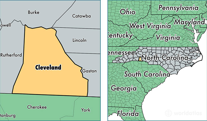
Cleveland County is a county equivalent area found in North Carolina, USA. The county government of Cleveland is found in the county seat of Shelby.
With a total 1,212.76 sq. km of land and water area, Cleveland County, North Carolina is the 2288th largest county equivalent area in the United States. Home to 97,076 people, Cleveland County has a total 43054 households earning 38989 on average per year.
Cleveland County, North Carolina - Quick Facts
| FIPS Code | 37045 |
| Area Codes | 704 |
| Time Zone | EST |
| Major Cities | Shelby (population: 52,506), Kings Mountain (population: 25,793), Lawndale (population: 8,294), Grover (population: 5,586), Casar (population: 2,307), Boiling Springs (population: 690), Lattimore (population: 246), Waco (population: 171), Earl (population: 104) |
| Land Area | 37,481 sq miles |
| Water Area | 464 sq miles |
| Household Income | $38,989 |
| Housing Units | 43,054 |
| Median Home Value | $106,100 |
| High School Grads | 82% of population |
| Holders of Bachelors Degrees | 16% of population |
| Retail Spending | $9,448 per capita |
| Food & Accomodation Sales | $96,647 per capita |
| Universities and Colleges | Gardner-Webb University |
This page was last updated on June 30, 2016.