Where is Gaston County, North Carolina?
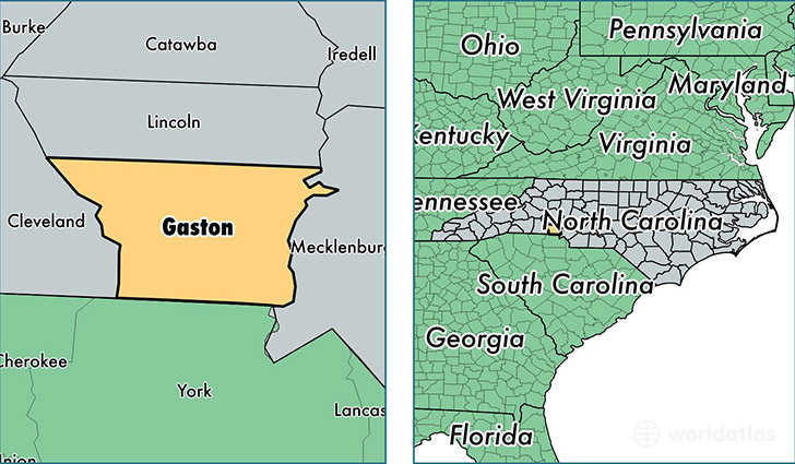
Gaston County is a county equivalent area found in North Carolina, USA. The county government of Gaston is found in the county seat of Gastonia.
With a total 943.02 sq. km of land and water area, Gaston County, North Carolina is the 2697th largest county equivalent area in the United States. Home to 211,127 people, Gaston County has a total 89341 households earning 42017 on average per year.
Gaston County, North Carolina - Quick Facts
| FIPS Code | 37071 |
| Area Codes | 704 |
| Time Zone | EST |
| Major Cities | Gastonia (population: 103,596), Belmont (population: 20,238), Mount Holly (population: 19,995), Dallas (population: 16,800), Stanley (population: 14,237), Cherryville (population: 13,705), Bessemer City (population: 13,591), Lowell (population: 3,613), Cramerton (population: 3,134), Alexis (population: 1,142) |
| Land Area | 81,517 sq miles |
| Water Area | 356 sq miles |
| Household Income | $42,017 |
| Housing Units | 89,341 |
| Median Home Value | $123,600 |
| High School Grads | 81% of population |
| Holders of Bachelors Degrees | 18% of population |
| Retail Spending | $11,096 per capita |
| Food & Accomodation Sales | $253,421 per capita |
This page was last updated on June 30, 2016.