Where is Sheridan County, Montana?
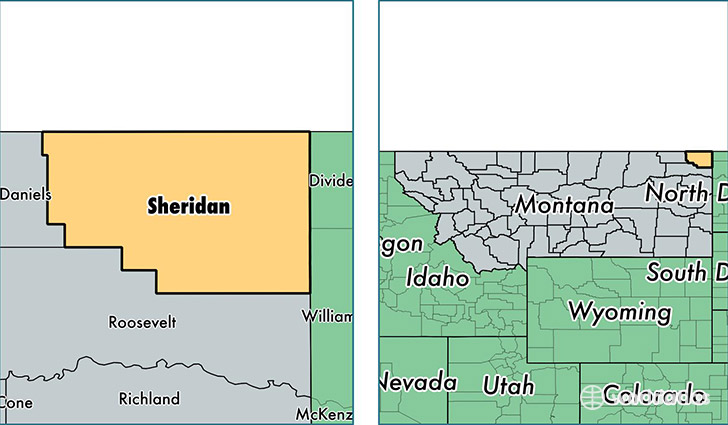
Sheridan County is a county equivalent area found in Montana, USA. The county government of Sheridan is found in the county seat of Plentywood.
With a total 4,418.78 sq. km of land and water area, Sheridan County, Montana is the 392nd largest county equivalent area in the United States. Home to 3,696 people, Sheridan County has a total 2125 households earning 48667 on average per year.
Sheridan County, Montana - Quick Facts
| FIPS Code | 30091 |
| Area Codes | 406 |
| Time Zone | MST |
| Major Cities | Plentywood (population: 2,143), Westby (population: 398), Medicine Lake (population: 332), Dagmar (population: 210), Antelope (population: 132), Outlook (population: 121), Reserve (population: 116), Homestead (population: 83), Redstone (population: 64), Raymond (population: 62) |
| Land Area | 1,427 sq miles |
| Water Area | 1,677 sq miles |
| Household Income | $48,667 |
| Housing Units | 2,125 |
| Median Home Value | $109,500 |
| High School Grads | 91% of population |
| Holders of Bachelors Degrees | 23% of population |
| Retail Spending | $9,450 per capita |
| Food & Accomodation Sales | $4,772 per capita |
This page was last updated on June 30, 2016.