Where is Daniels County, Montana?
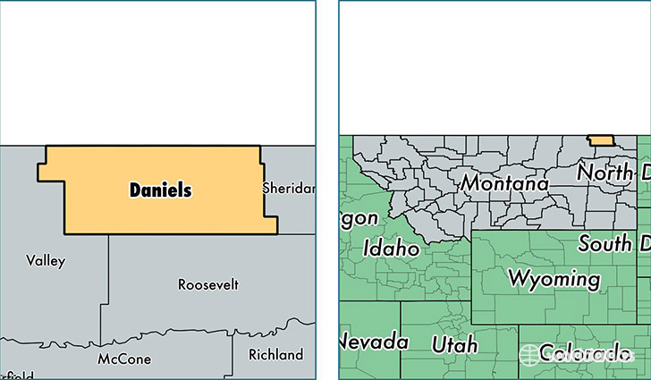
Daniels County is a county equivalent area found in Montana, USA. The county government of Daniels is found in the county seat of Scobey.
With a total 3,694.62 sq. km of land and water area, Daniels County, Montana is the 478th largest county equivalent area in the United States. Home to 1,793 people, Daniels County has a total 1114 households earning 46100 on average per year.
Daniels County, Montana - Quick Facts
| FIPS Code | 30019 |
| Area Codes | 406 |
| Time Zone | MST |
| Major Cities | Scobey (population: 1,375), Flaxville (population: 225), Peerless (population: 114), Whitetail (population: 40) |
| Land Area | 692 sq miles |
| Water Area | 1,426 sq miles |
| Household Income | $46,100 |
| Housing Units | 1,114 |
| Median Home Value | $96,800 |
| High School Grads | 94% of population |
| Holders of Bachelors Degrees | 23% of population |
| Retail Spending | $15,806 per capita |
| Food & Accomodation Sales | $1,027 per capita |
This page was last updated on June 30, 2016.