Where is Lake County, Montana?
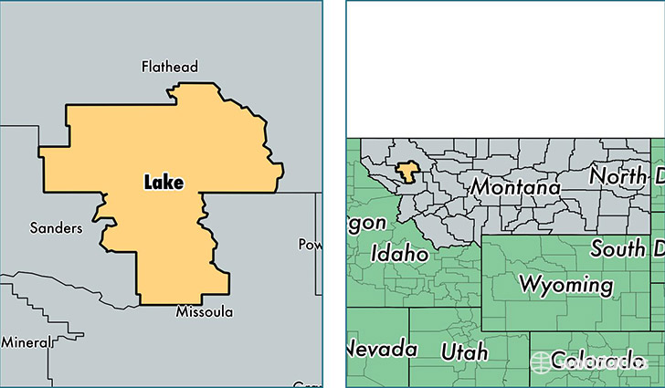
Lake County is a county equivalent area found in Montana, USA. The county government of Lake is found in the county seat of Polson.
With a total 4,283.11 sq. km of land and water area, Lake County, Montana is the 406th largest county equivalent area in the United States. Home to 29,099 people, Lake County has a total 16547 households earning 38019 on average per year.
Lake County, Montana - Quick Facts
| FIPS Code | 30047 |
| Area Codes | 406 |
| Time Zone | MST |
| Major Cities | Polson (population: 9,995), Ronan (population: 6,808), Saint Ignatius (population: 3,211), Arlee (population: 2,400), Charlo (population: 1,806), Pablo (population: 964), Elmo (population: 406), Big Arm (population: 358), Proctor (population: 238), Ravalli (population: 76) |
| Land Area | 11,235 sq miles |
| Water Area | 1,490 sq miles |
| Household Income | $38,019 |
| Housing Units | 16,547 |
| Median Home Value | $218,600 |
| High School Grads | 90% of population |
| Holders of Bachelors Degrees | 25% of population |
| Retail Spending | $9,855 per capita |
| Food & Accomodation Sales | $34,712 per capita |
| Universities and Colleges | Salish Kootenai College |
This page was last updated on June 30, 2016.