Where is Sainte Genevieve County, Missouri?
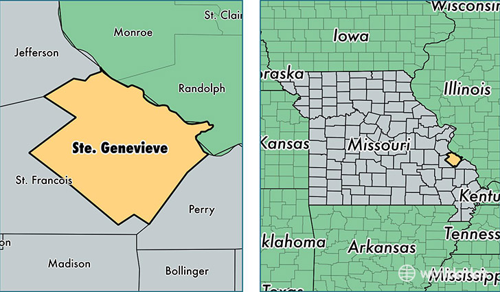
Sainte Genevieve County is a county equivalent area found in Missouri, USA. The county government of Sainte Genevieve is found in the county seat of Sainte Genevieve.
With a total 1,312.54 sq. km of land and water area, Sainte Genevieve County, Missouri is the 2150th largest county equivalent area in the United States. Home to 17,914 people, Sainte Genevieve County has a total 8593 households earning 48433 on average per year.
Sainte Genevieve County, Missouri - Quick Facts
| FIPS Code | 29186 |
| Area Codes | 573 |
| Time Zone | CST |
| Major Cities | Sainte Genevieve (population: 11,042), Bloomsdale (population: 2,876), Saint Mary (population: 2,082) |
| Land Area | 6,917 sq miles |
| Water Area | 499 sq miles |
| Household Income | $48,433 |
| Housing Units | 8,593 |
| Median Home Value | $121,600 |
| High School Grads | 82% of population |
| Holders of Bachelors Degrees | 11% of population |
| Retail Spending | $8,311 per capita |
| Food & Accomodation Sales | $11,391 per capita |
This page was last updated on June 30, 2016.