Where is Monroe County, Illinois?
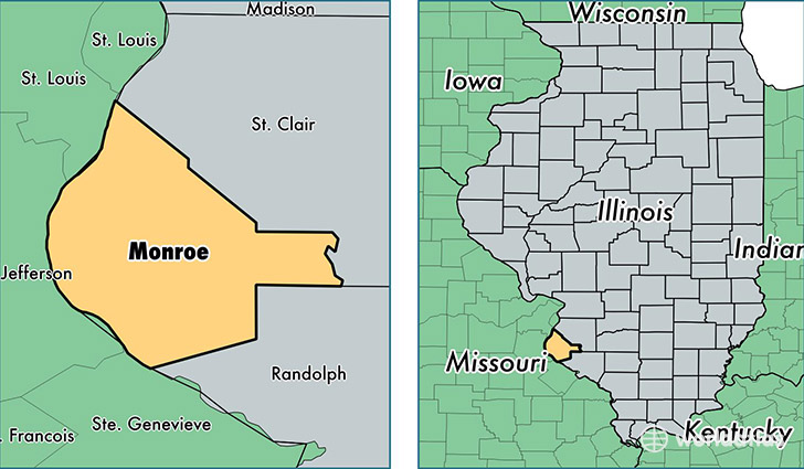
Monroe County is a county equivalent area found in Illinois, USA. The county government of Monroe is found in the county seat of Waterloo.
With a total 1,030.91 sq. km of land and water area, Monroe County, Illinois is the 2610th largest county equivalent area in the United States. Home to 33,722 people, Monroe County has a total 13638 households earning 68482 on average per year.
Monroe County, Illinois - Quick Facts
| FIPS Code | 17133 |
| Area Codes | 618 |
| Time Zone | CST |
| Major Cities | Waterloo (population: 16,800), Columbia (population: 12,705), Valmeyer (population: 1,618), Fults (population: 1,170), Hecker (population: 323), Renault (population: 69) |
| Land Area | 13,020 sq miles |
| Water Area | 385 sq miles |
| Household Income | $68,482 |
| Housing Units | 13,638 |
| Median Home Value | $193,900 |
| High School Grads | 93% of population |
| Holders of Bachelors Degrees | 26% of population |
| Retail Spending | $12,507 per capita |
| Food & Accomodation Sales | $35,946 per capita |
This page was last updated on June 30, 2016.