Where is Daviess County, Missouri?
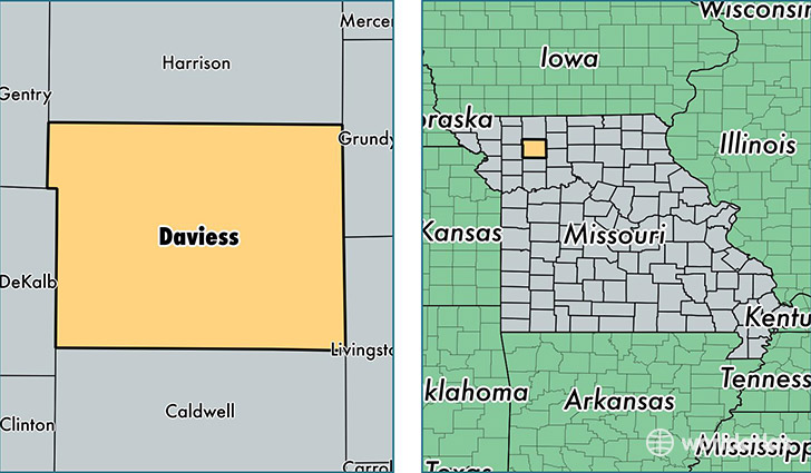
Daviess County is a county equivalent area found in Missouri, USA. The county government of Daviess is found in the county seat of Gallatin.
With a total 1,473.82 sq. km of land and water area, Daviess County, Missouri is the 1938th largest county equivalent area in the United States. Home to 8,297 people, Daviess County has a total 4160 households earning 42393 on average per year.
Daviess County, Missouri - Quick Facts
| FIPS Code | 29061 |
| Area Codes | 660 |
| Time Zone | CST |
| Major Cities | Gallatin (population: 3,067), Jamesport (population: 2,090), Pattonsburg (population: 1,068), Winston (population: 667), Altamont (population: 455), Jameson (population: 370), Coffey (population: 292), Lock Springs (population: 50) |
| Land Area | 3,203 sq miles |
| Water Area | 563 sq miles |
| Household Income | $42,393 |
| Housing Units | 4,160 |
| Median Home Value | $104,700 |
| High School Grads | 84% of population |
| Holders of Bachelors Degrees | 16% of population |
| Retail Spending | $5,630 per capita |
| Food & Accomodation Sales | $2,187 per capita |
This page was last updated on June 30, 2016.