Where is Harrison County, Missouri?
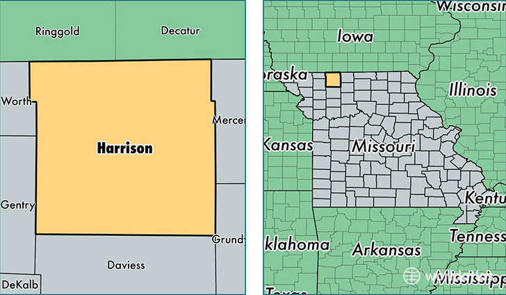
Harrison County is a county equivalent area found in Missouri, USA. The county government of Harrison is found in the county seat of Bethany.
With a total 1,881.38 sq. km of land and water area, Harrison County, Missouri is the 1333rd largest county equivalent area in the United States. Home to 8,639 people, Harrison County has a total 4371 households earning 37739 on average per year.
Harrison County, Missouri - Quick Facts
| FIPS Code | 29081 |
| Area Codes | 660 |
| Time Zone | CST |
| Major Cities | Bethany (population: 4,467), Ridgeway (population: 1,060), Eagleville (population: 859), Gilman City (population: 837), New Hampton (population: 471), Blythedale (population: 346), Martinsville (population: 181), Hatfield (population: 141) |
| Land Area | 3,336 sq miles |
| Water Area | 722 sq miles |
| Household Income | $37,739 |
| Housing Units | 4,371 |
| Median Home Value | $71,300 |
| High School Grads | 83% of population |
| Holders of Bachelors Degrees | 10% of population |
| Retail Spending | $16,382 per capita |
| Food & Accomodation Sales | $11,022 per capita |
This page was last updated on June 30, 2016.