Where is Ringgold County, Iowa?
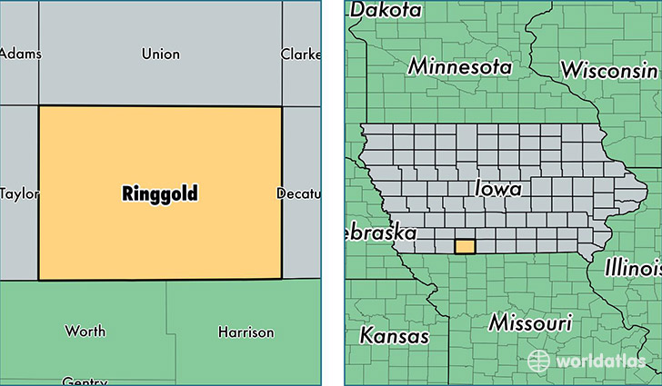
Ringgold County is a county equivalent area found in Iowa, USA. The county government of Ringgold is found in the county seat of Mount Ayr.
With a total 1,395.66 sq. km of land and water area, Ringgold County, Iowa is the 2044th largest county equivalent area in the United States. Home to 5,051 people, Ringgold County has a total 2595 households earning 44551 on average per year.
Ringgold County, Iowa - Quick Facts
| FIPS Code | 19159 |
| Area Codes | 641 |
| Time Zone | CST |
| Major Cities | Mount Ayr (population: 2,287), Diagonal (population: 806), Kellerton (population: 562), Redding (population: 470), Ellston (population: 331), Tingley (population: 291), Benton (population: 91) |
| Land Area | 1,950 sq miles |
| Water Area | 536 sq miles |
| Household Income | $44,551 |
| Housing Units | 2,595 |
| Median Home Value | $78,500 |
| High School Grads | 89% of population |
| Holders of Bachelors Degrees | 18% of population |
| Retail Spending | $12,562 per capita |
This page was last updated on June 30, 2016.