Where is Decatur County, Iowa?
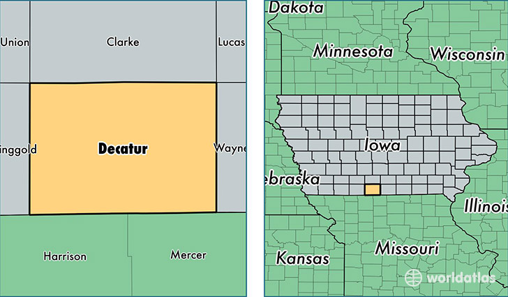
Decatur County is a county equivalent area found in Iowa, USA. The county government of Decatur is found in the county seat of Leon.
With a total 1,381.71 sq. km of land and water area, Decatur County, Iowa is the 2063rd largest county equivalent area in the United States. Home to 8,263 people, Decatur County has a total 3831 households earning 36326 on average per year.
Decatur County, Iowa - Quick Facts
| FIPS Code | 19053 |
| Area Codes | 641 |
| Time Zone | CST |
| Major Cities | Lamoni (population: 2,898), Leon (population: 2,831), Davis City (population: 568), Grand River (population: 461), Weldon (population: 460), Van Wert (population: 442), Garden Grove (population: 441), Decatur (population: 294) |
| Land Area | 3,190 sq miles |
| Water Area | 532 sq miles |
| Household Income | $36,326 |
| Housing Units | 3,831 |
| Median Home Value | $77,700 |
| High School Grads | 85% of population |
| Holders of Bachelors Degrees | 18% of population |
| Retail Spending | $4,746 per capita |
| Food & Accomodation Sales | $4,323 per capita |
| Universities and Colleges | Graceland University-Lamoni |
This page was last updated on June 30, 2016.