Where is DeKalb County, Missouri?
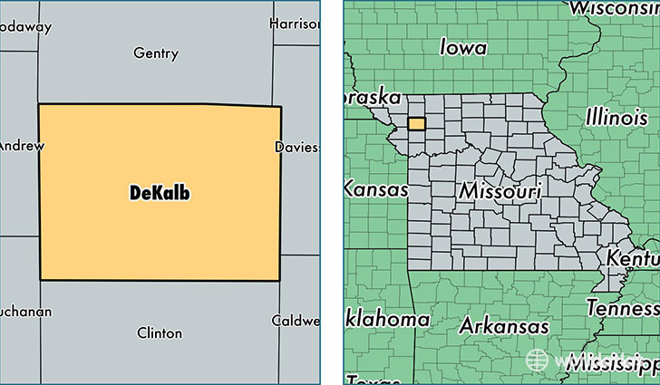
DeKalb County is a county equivalent area found in Missouri, USA. The county government of DeKalb is found in the county seat of Maysville.
With a total 1,102.87 sq. km of land and water area, DeKalb County, Missouri is the 2462nd largest county equivalent area in the United States. Home to 12,692 people, DeKalb County has a total 4285 households earning 44092 on average per year.
DeKalb County, Missouri - Quick Facts
| FIPS Code | 29063 |
| Area Codes | 816 |
| Time Zone | CST |
| Major Cities | Maysville (population: 2,347), Stewartsville (population: 2,054), Union Star (population: 1,022), Osborn (population: 820), Clarksdale (population: 767), Weatherby (population: 595), Amity (population: 338) |
| Land Area | 4,900 sq miles |
| Water Area | 421 sq miles |
| Household Income | $44,092 |
| Housing Units | 4,285 |
| Median Home Value | $110,400 |
| High School Grads | 83% of population |
| Holders of Bachelors Degrees | 10% of population |
| Retail Spending | $10,405 per capita |
| Food & Accomodation Sales | $5,214 per capita |
This page was last updated on June 30, 2016.