Putnam County, MO, USA
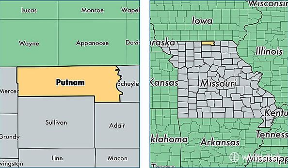
Putnam County is a county equivalent area found in Missouri, USA. The county government of Putnam is found in the county seat of Unionville.
With a total 1,345.79 sq. km of land and water area, Putnam County, Missouri is the 2106th largest county equivalent area in the United States. Home to 4,829 people, Putnam County has a total 2957 households earning 36713 on average per year.
Putnam County, Missouri - Quick Facts
| FIPS Code | 29171 |
| Area Codes | 660 |
| Time Zone | CST |
| Major Cities | Unionville (population: 3,768), Livonia (population: 334), Lucerne (population: 261), Powersville (population: 248), Worthington (population: 190) |
| Land Area | 1,864 sq miles |
| Water Area | 517 sq miles |
| Household Income | $36,713 |
| Housing Units | 2,957 |
| Median Home Value | $100,300 |
| High School Grads | 85% of population |
| Holders of Bachelors Degrees | 14% of population |
| Retail Spending | $7,916 per capita |
| Food & Accomodation Sales | $453 per capita |