Where is Iosco County, Michigan?
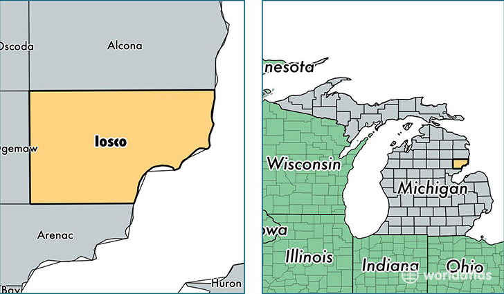
Iosco County is a county equivalent area found in Michigan, USA. The county government of Iosco is found in the county seat of Tawas City.
With a total 4,895.23 sq. km of land and water area, Iosco County, Michigan is the 345th largest county equivalent area in the United States. Home to 25,420 people, Iosco County has a total 20335 households earning 36236 on average per year.
Iosco County, Michigan - Quick Facts
| FIPS Code | 26069 |
| Area Codes | 989 |
| Time Zone | EST |
| Major Cities | Oscoda (population: 8,664), Tawas City (population: 4,906), East Tawas (population: 4,619), Hale (population: 3,967), Whittemore (population: 1,852), National City (population: 1,658), South Branch (population: 1,006), Long Lake (population: 61) |
| Land Area | 9,815 sq miles |
| Water Area | 549 sq miles |
| Household Income | $36,236 |
| Housing Units | 20,335 |
| Median Home Value | $90,300 |
| High School Grads | 87% of population |
| Holders of Bachelors Degrees | 14% of population |
| Retail Spending | $10,272 per capita |
| Food & Accomodation Sales | $27,267 per capita |
This page was last updated on June 30, 2016.