Where is Montmorency County, Michigan?
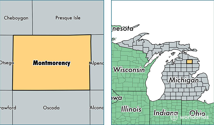
Montmorency County is a county equivalent area found in Michigan, USA. The county government of Montmorency is found in the county seat of Atlanta.
With a total 1,457.26 sq. km of land and water area, Montmorency County, Michigan is the 1968th largest county equivalent area in the United States. Home to 9,300 people, Montmorency County has a total 9523 households earning 35261 on average per year.
Montmorency County, Michigan - Quick Facts
| FIPS Code | 26119 |
| Area Codes | 989 |
| Time Zone | EST |
| Major Cities | Lewiston (population: 3,774), Hillman (population: 3,582), Atlanta (population: 3,510) |
| Land Area | 3,591 sq miles |
| Water Area | 547 sq miles |
| Household Income | $35,261 |
| Housing Units | 9,523 |
| Median Home Value | $93,700 |
| High School Grads | 85% of population |
| Holders of Bachelors Degrees | 10% of population |
| Retail Spending | $6,862 per capita |
| Food & Accomodation Sales | $7,882 per capita |
This page was last updated on June 30, 2016.