Where is Marquette County, Michigan?
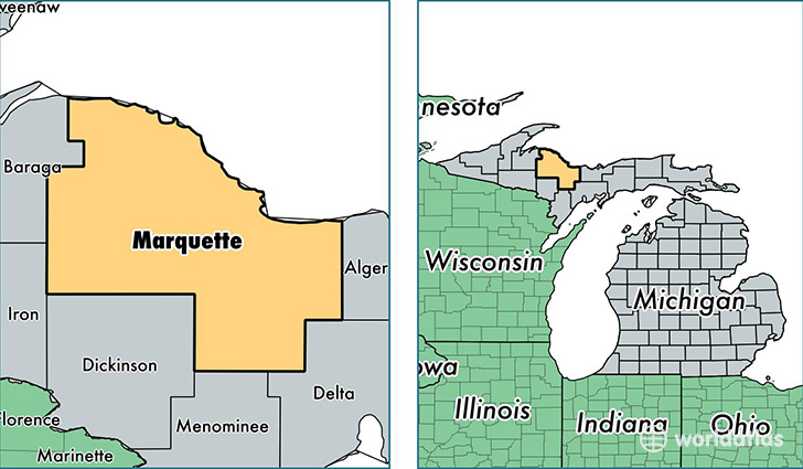
Marquette County is a county equivalent area found in Michigan, USA. The county government of Marquette is found in the county seat of Marquette.
With a total 8,869.32 sq. km of land and water area, Marquette County, Michigan is the 157th largest county equivalent area in the United States. Home to 67,676 people, Marquette County has a total 34369 households earning 45622 on average per year.
Marquette County, Michigan - Quick Facts
| FIPS Code | 26103 |
| Area Codes | 906 |
| Time Zone | EST |
| Major Cities | Marquette (population: 33,975), Ishpeming (population: 12,393), Negaunee (population: 8,133), Gwinn (population: 7,102), Skandia (population: 1,918), Champion (population: 1,446), Republic (population: 1,050), Michigamme (population: 614), Palmer (population: 516), Big Bay (population: 356) |
| Land Area | 26,130 sq miles |
| Water Area | 1,809 sq miles |
| Household Income | $45,622 |
| Housing Units | 34,369 |
| Median Home Value | $126,600 |
| High School Grads | 94% of population |
| Holders of Bachelors Degrees | 29% of population |
| Retail Spending | $11,200 per capita |
| Food & Accomodation Sales | $100,271 per capita |
This page was last updated on June 30, 2016.