Where is Dickinson County, Michigan?
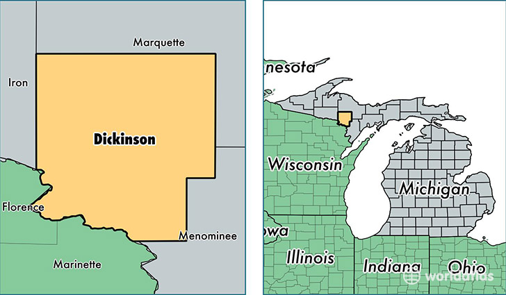
Dickinson County is a county equivalent area found in Michigan, USA. The county government of Dickinson is found in the county seat of Iron Mountain.
With a total 2,012.55 sq. km of land and water area, Dickinson County, Michigan is the 1219th largest county equivalent area in the United States. Home to 25,957 people, Dickinson County has a total 13950 households earning 44136 on average per year.
Dickinson County, Michigan - Quick Facts
| FIPS Code | 26043 |
| Area Codes | 906 |
| Time Zone | CST |
| Major Cities | Iron Mountain (population: 11,446), Kingsford (population: 6,242), Norway (population: 3,335), Vulcan (population: 1,949), Quinnesec (population: 1,242), Felch (population: 782), Channing (population: 488), Sagola (population: 345), Foster City (population: 284), Loretto (population: 120) |
| Land Area | 10,022 sq miles |
| Water Area | 761 sq miles |
| Household Income | $44,136 |
| Housing Units | 13,950 |
| Median Home Value | $85,500 |
| High School Grads | 94% of population |
| Holders of Bachelors Degrees | 20% of population |
| Retail Spending | $15,399 per capita |
| Food & Accomodation Sales | $28,601 per capita |
This page was last updated on June 30, 2016.