Where is Iron County, Michigan?
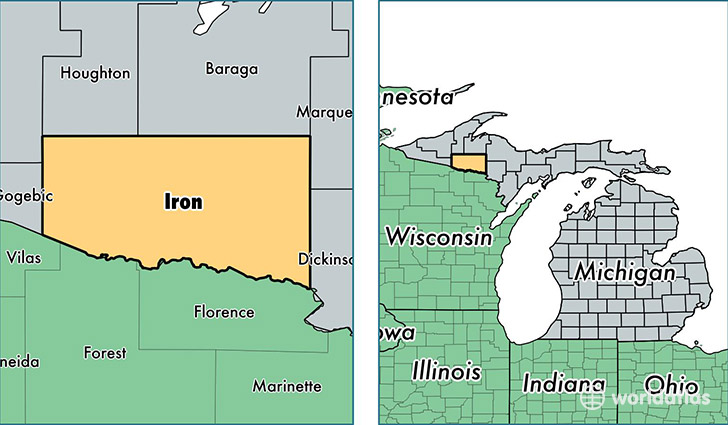
Iron County is a county equivalent area found in Michigan, USA. The county government of Iron is found in the county seat of Crystal Falls.
With a total 3,137.02 sq. km of land and water area, Iron County, Michigan is the 582nd largest county equivalent area in the United States. Home to 11,387 people, Iron County has a total 9206 households earning 34685 on average per year.
Iron County, Michigan - Quick Facts
| FIPS Code | 26071 |
| Area Codes | 906 |
| Time Zone | CST |
| Major Cities | Iron River (population: 5,977), Crystal Falls (population: 4,189), Stambaugh (population: 912), Caspian (population: 617), Gaastra (population: 473), Alpha (population: 142), Amasa (population: 130) |
| Land Area | 4,397 sq miles |
| Water Area | 1,166 sq miles |
| Household Income | $34,685 |
| Housing Units | 9,206 |
| Median Home Value | $75,100 |
| High School Grads | 89% of population |
| Holders of Bachelors Degrees | 18% of population |
| Retail Spending | $8,496 per capita |
| Food & Accomodation Sales | $11,646 per capita |
This page was last updated on June 30, 2016.