Where is Alger County, Michigan?
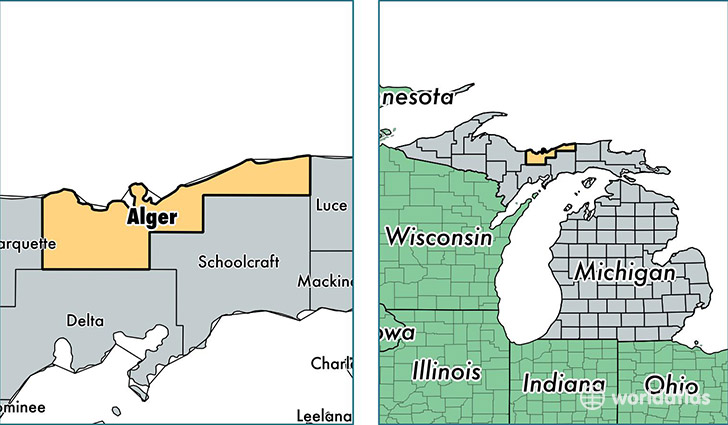
Alger County is a county equivalent area found in Michigan, USA. The county government of Alger is found in the county seat of Munising.
With a total 13,073.57 sq. km of land and water area, Alger County, Michigan is the 82nd largest county equivalent area in the United States. Home to 9,459 people, Alger County has a total 6576 households earning 37586 on average per year.
Alger County, Michigan offers the following attraction to visitors: Pictured Rocks NL
Alger County, Michigan - Quick Facts
| FIPS Code | 26003 |
| Area Codes | 906 |
| Time Zone | EST |
| Major Cities | Munising (population: 4,993), Trenary (population: 810), Wetmore (population: 759), Chatham (population: 719), Au Train (population: 623), Shingleton (population: 548), Grand Marais (population: 476), Eben Junction (population: 297), Deerton (population: 218), Seney (population: 148) |
| Land Area | 3,652 sq miles |
| Water Area | 915 sq miles |
| Household Income | $37,586 |
| Housing Units | 6,576 |
| Median Home Value | $117,100 |
| High School Grads | 89% of population |
| Holders of Bachelors Degrees | 17% of population |
| Retail Spending | $5,636 per capita |
| Food & Accomodation Sales | $14,239 per capita |
This page was last updated on June 30, 2016.