Where is Menominee County, Michigan?
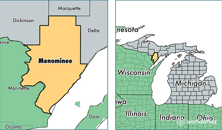
Menominee County is a county equivalent area found in Michigan, USA. The county government of Menominee is found in the county seat of Menominee.
With a total 3,465.84 sq. km of land and water area, Menominee County, Michigan is the 506th largest county equivalent area in the United States. Home to 23,714 people, Menominee County has a total 14111 households earning 41739 on average per year.
Menominee County, Michigan - Quick Facts
| FIPS Code | 26109 |
| Area Codes | 906 |
| Time Zone | CST |
| Major Cities | Menominee (population: 11,980), Stephenson (population: 2,451), Wallace (population: 1,768), Wilson (population: 1,733), Daggett (population: 1,341), Powers (population: 1,115), Hermansville (population: 989), Carney (population: 916), Spalding (population: 431), Nadeau (population: 128) |
| Land Area | 9,156 sq miles |
| Water Area | 1,044 sq miles |
| Household Income | $41,739 |
| Housing Units | 14,111 |
| Median Home Value | $95,300 |
| High School Grads | 90% of population |
| Holders of Bachelors Degrees | 14% of population |
| Retail Spending | $6,914 per capita |
| Food & Accomodation Sales | $17,217 per capita |
This page was last updated on June 30, 2016.