Where is Ontonagon County, Michigan?
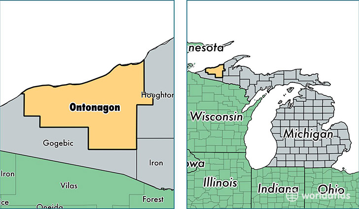
Ontonagon County is a county equivalent area found in Michigan, USA. The county government of Ontonagon is found in the county seat of Ontonagon.
With a total 9,688.59 sq. km of land and water area, Ontonagon County, Michigan is the 143rd largest county equivalent area in the United States. Home to 6,172 people, Ontonagon County has a total 5625 households earning 34620 on average per year.
Ontonagon County, Michigan - Quick Facts
| FIPS Code | 26131 |
| Area Codes | 906 |
| Time Zone | EST |
| Major Cities | Ontonagon (population: 2,723), Bruce Crossing (population: 1,022), Mass City (population: 558), Trout Creek (population: 473), Ewen (population: 467), White Pine (population: 456), Bergland (population: 364), Greenland (population: 204), Rockland (population: 174) |
| Land Area | 2,383 sq miles |
| Water Area | 1,311 sq miles |
| Household Income | $34,620 |
| Housing Units | 5,625 |
| Median Home Value | $72,600 |
| High School Grads | 89% of population |
| Holders of Bachelors Degrees | 15% of population |
| Retail Spending | $8,767 per capita |
| Food & Accomodation Sales | $6,753 per capita |
This page was last updated on June 30, 2016.