Where is Pointe Coupee Parish, Louisiana?
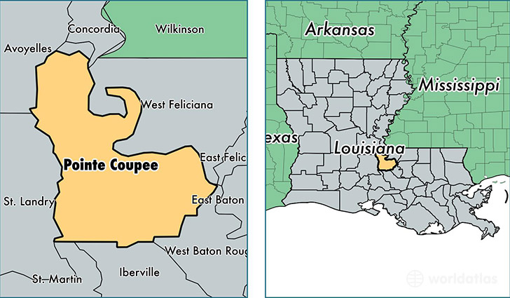
Pointe Coupee Parish is a county equivalent area found in Louisiana, USA. The parish government of Pointe Coupee is found in the parish seat of New Roads.
With a total 1,529.94 sq. km of land and water area, Pointe Coupee Parish, Louisiana is the 1777th largest county equivalent area in the United States. Home to 22,406 people, Pointe Coupee Parish has a total 11187 households earning 45363 on average per year.
Pointe Coupee Parish, Louisiana - Quick Facts
| FIPS Code | 22077 |
| Area Codes | 225 |
| Time Zone | CST |
| Major Cities | New Roads (population: 6,969), Ventress (population: 2,595), Livonia (population: 2,178), Jarreau (population: 1,548), Morganza (population: 1,522), Batchelor (population: 1,428), Fordoche (population: 1,174), Oscar (population: 922), Lettsworth (population: 867), Lakeland (population: 803) |
| Land Area | 8,651 sq miles |
| Water Area | 558 sq miles |
| Household Income | $45,363 |
| Housing Units | 11,187 |
| Median Home Value | $113,100 |
| High School Grads | 81% of population |
| Holders of Bachelors Degrees | 14% of population |
| Retail Spending | $9,638 per capita |
| Food & Accomodation Sales | $14,042 per capita |
This page was last updated on June 30, 2016.