Where is Saint Landry Parish, Louisiana?
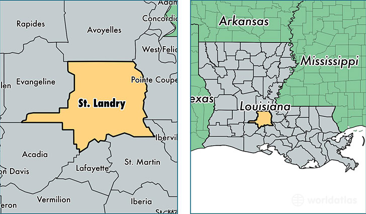
Saint Landry Parish is a county equivalent area found in Louisiana, USA. The parish government of Saint Landry is found in the parish seat of Opelousas.
With a total 2,431.95 sq. km of land and water area, Saint Landry Parish, Louisiana is the 855th largest county equivalent area in the United States. Home to 83,709 people, Saint Landry Parish has a total 35857 households earning 35503 on average per year.
Saint Landry Parish, Louisiana - Quick Facts
| FIPS Code | 22097 |
| Area Codes | 337 |
| Time Zone | CST |
| Major Cities | Opelousas (population: 39,116), Eunice (population: 18,258), Arnaudville (population: 9,842), Sunset (population: 7,382), Port Barre (population: 4,660), Washington (population: 3,293), Krotz Springs (population: 1,957), Melville (population: 1,669), Palmetto (population: 1,114), Morrow (population: 648) |
| Land Area | 32,320 sq miles |
| Water Area | 924 sq miles |
| Household Income | $35,503 |
| Housing Units | 35,857 |
| Median Home Value | $83,600 |
| High School Grads | 76% of population |
| Holders of Bachelors Degrees | 13% of population |
| Retail Spending | $10,633 per capita |
| Food & Accomodation Sales | $56,570 per capita |
This page was last updated on June 30, 2016.