Where is West Baton Rouge Parish, Louisiana?
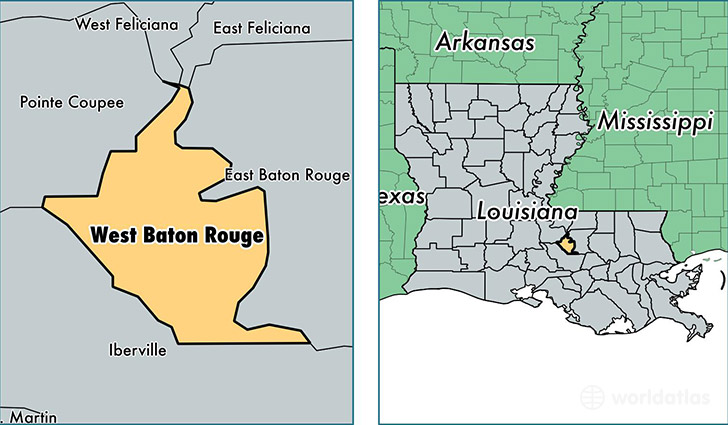
West Baton Rouge Parish is a county equivalent area found in Louisiana, USA. The parish government of West Baton Rouge is found in the parish seat of Port Allen.
With a total 527.9 sq. km of land and water area, West Baton Rouge Parish, Louisiana is the 3014th largest county equivalent area in the United States. Home to 25,085 people, West Baton Rouge Parish has a total 9776 households earning 50926 on average per year.
West Baton Rouge Parish, Louisiana - Quick Facts
| FIPS Code | 22121 |
| Area Codes | 225 |
| Time Zone | CST |
| Major Cities | Port Allen (population: 15,113), Brusly (population: 4,519), Addis (population: 3,641), Erwinville (population: 1,041) |
| Land Area | 9,685 sq miles |
| Water Area | 192 sq miles |
| Household Income | $50,926 |
| Housing Units | 9,776 |
| Median Home Value | $141,900 |
| High School Grads | 83% of population |
| Holders of Bachelors Degrees | 18% of population |
| Retail Spending | $14,125 per capita |
| Food & Accomodation Sales | $35,180 per capita |
This page was last updated on June 30, 2016.