Where is Iberville Parish, Louisiana?
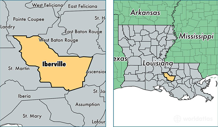
Iberville Parish is a county equivalent area found in Louisiana, USA. The parish government of Iberville is found in the parish seat of Plaquemine.
With a total 1,690.87 sq. km of land and water area, Iberville Parish, Louisiana is the 1566th largest county equivalent area in the United States. Home to 33,327 people, Iberville Parish has a total 12844 households earning 45368 on average per year.
Iberville Parish, Louisiana - Quick Facts
| FIPS Code | 22047 |
| Area Codes | 225 |
| Time Zone | CST |
| Major Cities | Plaquemine (population: 17,500), Saint Gabriel (population: 6,014), White Castle (population: 4,031), Maringouin (population: 3,163), Grosse Tete (population: 1,298), Sunshine (population: 1,010), Rosedale (population: 780), Carville (population: 697) |
| Land Area | 12,868 sq miles |
| Water Area | 619 sq miles |
| Household Income | $45,368 |
| Housing Units | 12,844 |
| Median Home Value | $93,300 |
| High School Grads | 77% of population |
| Holders of Bachelors Degrees | 13% of population |
| Retail Spending | $8,337 per capita |
| Food & Accomodation Sales | $17,866 per capita |
This page was last updated on June 30, 2016.