Where is Bath County, Kentucky?
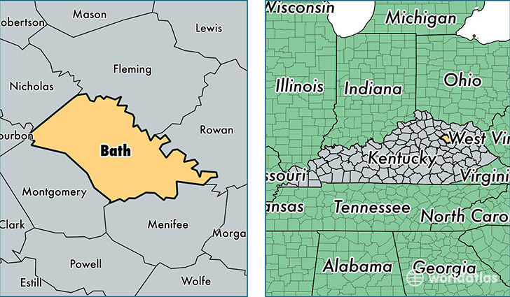
Bath County is a county equivalent area found in Kentucky, USA. The county government of Bath is found in the county seat of Owingsville.
With a total 735.57 sq. km of land and water area, Bath County, Kentucky is the 2880th largest county equivalent area in the United States. Home to 12,206 people, Bath County has a total 5349 households earning 30797 on average per year.
Bath County, Kentucky - Quick Facts
| FIPS Code | 21011 |
| Area Codes | 859,606 |
| Time Zone | EST |
| Major Cities | Owingsville (population: 6,682), Salt Lick (population: 2,883), Sharpsburg (population: 1,731), Olympia (population: 920), Hope (population: 77) |
| Land Area | 4,713 sq miles |
| Water Area | 279 sq miles |
| Household Income | $30,797 |
| Housing Units | 5,349 |
| Median Home Value | $65,400 |
| High School Grads | 74% of population |
| Holders of Bachelors Degrees | 12% of population |
| Retail Spending | $4,474 per capita |
This page was last updated on June 30, 2016.