Where is Johnson County, Kentucky?
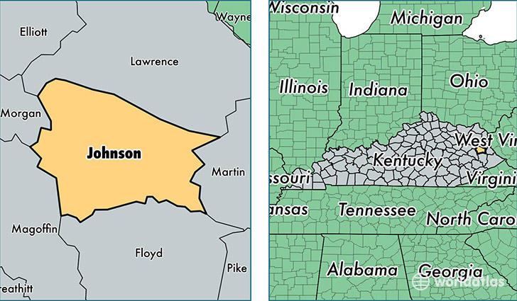
Johnson County is a county equivalent area found in Kentucky, USA. The county government of Johnson is found in the county seat of Paintsville.
With a total 684.11 sq. km of land and water area, Johnson County, Kentucky is the 2916th largest county equivalent area in the United States. Home to 23,262 people, Johnson County has a total 10474 households earning 34090 on average per year.
Johnson County, Kentucky - Quick Facts
| FIPS Code | 21115 |
| Area Codes | 606 |
| Time Zone | EST |
| Major Cities | Paintsville (population: 6,923), Hagerhill (population: 2,630), Staffordsville (population: 2,435), Flatgap (population: 2,055), Van Lear (population: 1,858), Sitka (population: 1,037), Thelma (population: 886), Oil Springs (population: 860), Meally (population: 601), Wittensville (population: 585) |
| Land Area | 8,982 sq miles |
| Water Area | 262 sq miles |
| Household Income | $34,090 |
| Housing Units | 10,474 |
| Median Home Value | $78,700 |
| High School Grads | 74% of population |
| Holders of Bachelors Degrees | 10% of population |
| Retail Spending | $14,646 per capita |
| Food & Accomodation Sales | $27,186 per capita |
This page was last updated on June 30, 2016.