Where is Meade County, Kentucky?
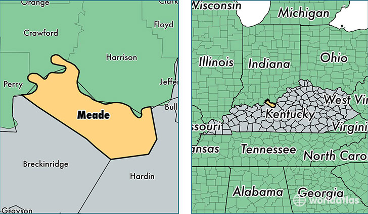
Meade County is a county equivalent area found in Kentucky, USA. The county government of Meade is found in the county seat of Brandenburg.
With a total 840.46 sq. km of land and water area, Meade County, Kentucky is the 2798th largest county equivalent area in the United States. Home to 29,139 people, Meade County has a total 12026 households earning 46756 on average per year.
Meade County, Kentucky - Quick Facts
| FIPS Code | 21163 |
| Area Codes | 270 |
| Time Zone | EST |
| Major Cities | Brandenburg (population: 11,840), Guston (population: 2,353), Ekron (population: 2,350), Battletown (population: 1,365), Muldraugh (population: 968), Payneville (population: 894), Rhodelia (population: 181) |
| Land Area | 11,251 sq miles |
| Water Area | 305 sq miles |
| Household Income | $46,756 |
| Housing Units | 12,026 |
| Median Home Value | $120,500 |
| High School Grads | 86% of population |
| Holders of Bachelors Degrees | 13% of population |
| Retail Spending | $6,274 per capita |
This page was last updated on June 30, 2016.