Where is Rooks County, Kansas?
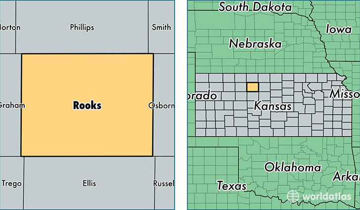
Rooks County is a county equivalent area found in Kansas, USA. The county government of Rooks is found in the county seat of Stockton.
With a total 2,318.44 sq. km of land and water area, Rooks County, Kansas is the 985th largest county equivalent area in the United States. Home to 5,155 people, Rooks County has a total 2754 households earning 42449 on average per year.
Rooks County, Kansas - Quick Facts
| FIPS Code | 20163 |
| Area Codes | 785 |
| Time Zone | CST |
| Major Cities | Plainville (population: 2,636), Stockton (population: 1,738), Palco (population: 431), Damar (population: 228), Woodston (population: 218) |
| Land Area | 1,990 sq miles |
| Water Area | 890 sq miles |
| Household Income | $42,449 |
| Housing Units | 2,754 |
| Median Home Value | $62,500 |
| High School Grads | 92% of population |
| Holders of Bachelors Degrees | 21% of population |
| Retail Spending | $10,991 per capita |
This page was last updated on June 30, 2016.